General Description of the E.S.S.R.E. Survey Sites
The four research sites included in the biota survey are located in the urban woodlands situated on the west-southwest edge of the Roland Park Country School campus in Baltimore, Maryland. They follow the path of an urban stream that is part of the Jones Fall watershed and represent four distinct microclimates based on the amount of water available, types of vegetation, and soil content found in each location.
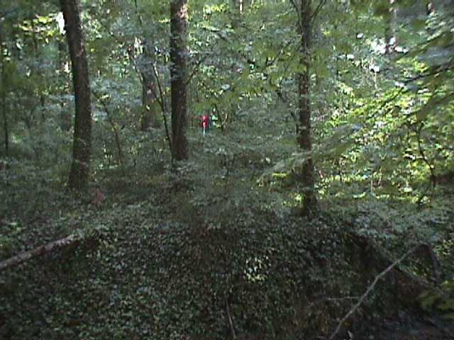
Site 1 (N 39.35794; W 076.63977) is a riparian seasonal flood plain with numerous large hardwood deciduous trees and relatively sparse undergrowth. It receives not only the runoff from the stream itself but the parking lot overflow of St. Mary’s Seminary as well (located directly above it on the hillside). It’s soil is, along with site 3's, the most diverse in texture (41% sand; 28% clay; & 31% silt).
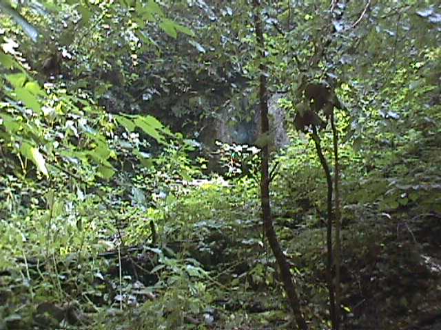
Site 2 (N 39.35740; W 076.63893) is a heavily eroded stream bed located at the base of a late 19th Century concrete damn once used to create a pond on the original farm where the school now resides. It has few deciduous trees and very dense undergrowth. The remnants of the dam concentrates the stream flow at this location, and as a result, the sandy soil (80% sand; 20% clay) seldom dries out.
Sadly, sometime during the 2007-2008 school year, a storm brought down several large trees into the heart of Site 2, making it totally inaccessible. As a consequence, there is a hiatus in the data for this site from 2008 until 2010, when the site was once again accessible following the tree's decomposition.
.JPG)
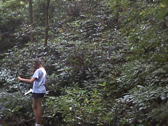
Site 3 (N 39.35797; W 076.63836) is actually located at the top of the campus hillside near the source of the stream, and its steep, heavily forested sides include a large rhododendron patch, numerous ferns, and dense patches of invasive English ivy. The stream has eroded the soil down to the primary limestone bedrock here, and the soil is 45% sand; 27% clay; & 28% silt.
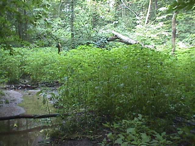
Site 4 (N 39.35733; W 076.63840) is a wetland meadow that has developed from the filling in of the old farm pond. The stream spreads out across the entire location at this stage in its journey down the hillside, and there are almost no trees and little plant diversity. A broad swath of jewelweed covers its very silty (sand 37%; 15% clay; & 48% silt).